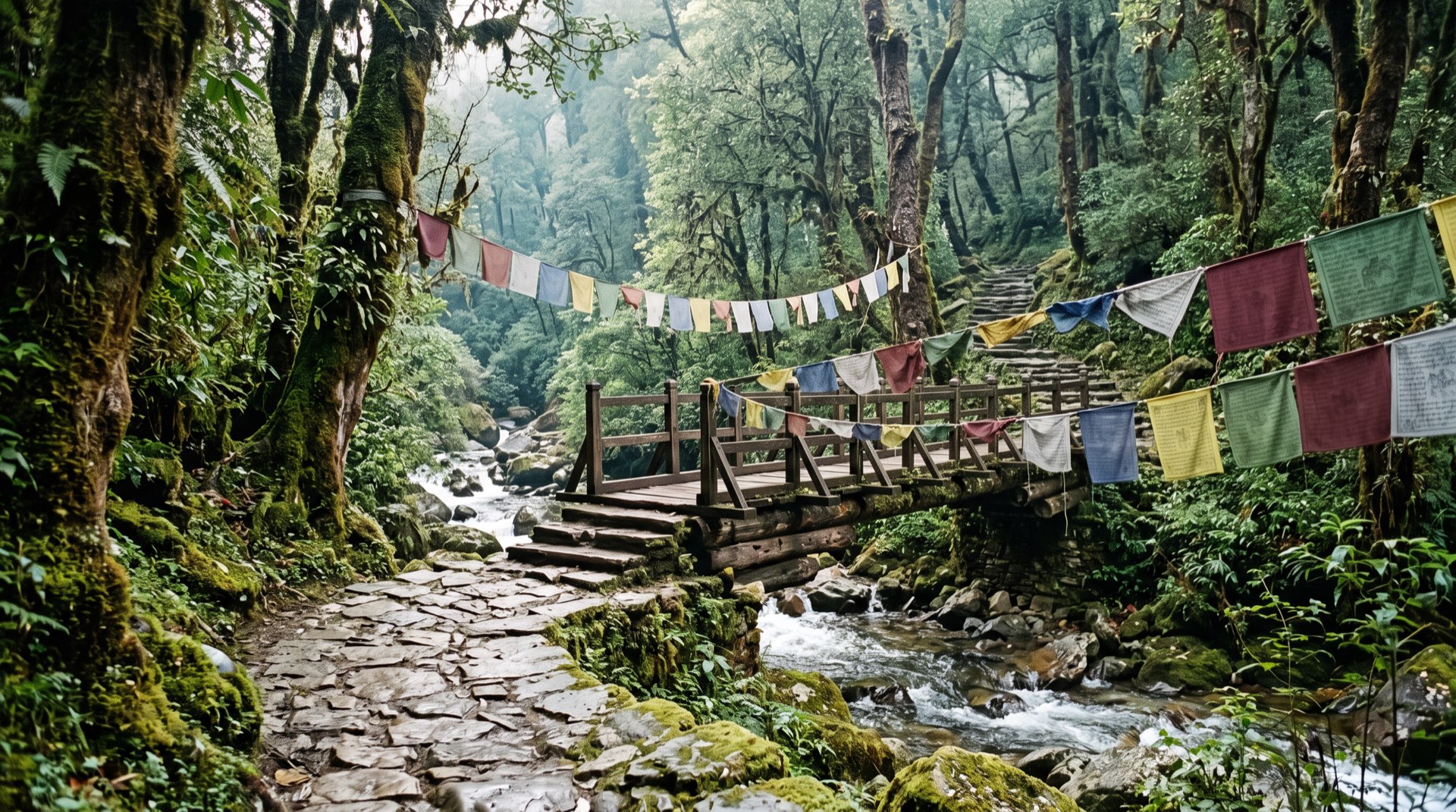
A gravel road drops away behind a bend, the engine noise thins out, and for the first time all morning you can hear your own boots. The path ahead is narrow and old. Prayer flags snap on a far ridge, pine on one side, terraces on the other.
That, or something like it, is a good day on the Trans Bhutan Trail. The worry comes before you arrive. You have seen “403 km” in one place and “426 km” in another, read that the trail is finished in one article and overgrown in the next, and you are not sure whether you are signing up for a pleasant morning or a month of your life.
Fair questions. We read the official and news sources, and the write-up of a team who ran the whole thing, and here is what they agree on, and where they don’t.
| At a glance | Detail | Source |
|---|---|---|
| Route | Haa in the west to Trashigang in the east | BBS |
| Length | 403 km (BBS, April 2022); “over four hundred kilometres” (Department of Tourism); 426 km (route listing, see below) | BBS; Department of Tourism journal; Fastest Known Time |
| Roads | About 30% of the ancient trails now lie under modern roads | BBS |
| Cost | Free to access | Department of Tourism journal |
| Guide | A licensed guide at all times; a licensed trekking guide for treks | DoT notification, 8 April 2026 |
| Whole trail | About a month; around twenty foreign visitors had finished it by September 2025 | Department of Tourism journal |
| Checked | 30 September 2026 |
What is the Trans Bhutan Trail?
It is the old east–west walking route across Bhutan, from Haa to Trashigang, brought back into use after decades of neglect. BBS reported in 2022 that Bhutanese used these trails for economic, political and social purposes before roads existed, and that they had been little used since the 1960s, so forest and bush had grown over them. According to the iRunFar write-up we quote below, it reopened to the public in 2022.
The Department of Tourism’s own journal calls it a month-long hike across the breadth of Bhutan, with a total climb equal to more than 20 kilometres of vertical. Then it delivers the good news for anyone with an ordinary holiday: the trail is so adaptable that you can simply slot a day, or several, into a wider itinerary. That is how most visitors meet it.
How long is it, and why do sources say 403 km and 426 km?
About 400 km, give or take, depending on who measured. BBS reported the 403-kilometre route from Haa to Trashigang in April 2022, and 403 km is the figure in our guide to walking in Bhutan. The Department of Tourism’s journal says only “over four hundred kilometres”. The route listing on the Fastest Known Time website gives 426 km with 22,527 m of climbing. The team that ran the trail in November 2025 wrote in the same iRunFar account of about 265 miles, which is roughly 426 km.
None of these pages explains the gap. Our guess, and it is only a guess, is that a track logged on foot through village lanes, field edges and road diversions runs longer than a planning figure. The difference is 23 km, roughly one long walking day for someone doing the whole trail. For a half-day walk it changes nothing: what matters is the length of your section, and we tell you that in advance.
What has been restored, and what is still unfinished?
Most of the route can be walked, some stretches are still overgrown, and no source we found says the work is complete. In April 2022 BBS described the project as being in its final phase: toilets and resting places going in, about 130 marker poles with QR codes planned along the route, and completion expected by the end of that year.
More than three years later, the runners who covered the whole trail in November 2025 described a mixed picture. There were white blazes regularly and signposts at some road crossings and towns, but markings in villages came and went, big towns had none, no complete public GPX track was available in Bhutan, and one stretch between Chendebji and Tshangkha was so overgrown that they gave up and took the road. The Fastest Known Time listing agrees that some crucial areas lack markings.
So: restored, yes. Finished, not as far as we can tell. The answer changes section by section, which is one more reason to walk with someone who knows this month’s state of the path.
Do you need a guide, and is it free?
The trail is free to access, and you still need a licensed guide beside you. The Department of Tourism’s journal describes it as a free-to-access trail, so the trail itself has no entry charge (the Sustainable Development Fee for your nights in Bhutan still applies). The rule for visitors comes from elsewhere. The Department’s notification of 8 April 2026 says tourists must be accompanied by a licensed guide at all times, and a licensed trekking guide is mandatory for trekking tours.
A day on the old trail is still a day in Bhutan under those rules. In practice that means no wandering off with a flask and a hopeful map. It also means someone knows which fork is the trail, which is worth having when the waymarking gets patchy in the villages. For the multi-day version of the question, see Bhutan’s treks compared.
How do you choose a section?
Choose by climb first, then by season, then by what you would like to see. The Department of Tourism’s journal gives a few pointers, and each is easy to test against your legs.
- The gentlest start: the Pele La, where the trail crosses before dropping towards Trongsa. The journal describes a gentle climb to the pass, yak pastures, flowers and, on a clear day, views of snow peaks, and calls it a part anyone can hike.
- A steep downhill day: from the Dochula pass towards Punakha, from an alpine zone to a valley that is sub-tropical at its base. The monastic body once walked it between the two towns each spring and autumn. Poles help.
- The hard, high one: in and out of Thimphu. The journal counts it among the hardest and highest parts, and the runners place the trail’s high point at Pumo La, about 13,130 ft (4,002 m).
- Legends: Bumthang, where the trail passes the Burning Lake at the valley’s entrance, a place the journal links to Guru Rinpoche hiding religious treasures in its water.
We plan a section so the car waits at the far end. Two of these stretches, the Pele La and Bumthang, lie along the road of our Cranes & the Central Valleys journey, so tell us if you would like to swap an hour of driving for an hour of walking. For somewhere quieter, our guide to going beyond western Bhutan covers the east, and our day hikes in Bhutan cover walks off the trail.
What is it like to walk?
Varied, often quiet, and not always romantic. The Department’s journal lists what the whole trail passes through: valleys, wind-blasted passes, shadowy pine and deciduous forest, yak pastures, monasteries and shrines. The runners add the parts a brochure skips: farmyards where the path disappears, town streets with no marker, and, since about 30% of the ancient trails lie under roads, stretches where the “trail” is tarmac with a view. A good guide knows which of those to walk and which to drive.
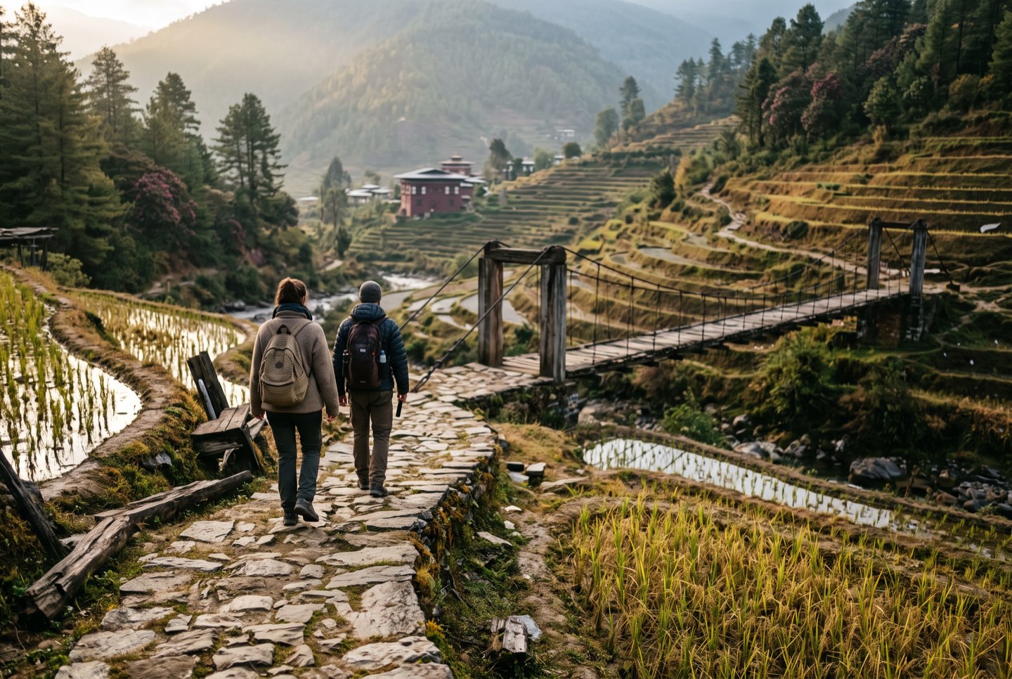 Two walkers on an old stone-paved stretch between rice terraces, heading for a wooden bridge.
One of the pleasures sits just off the path. The journal says that almost all along the trail you can walk a few hundred metres off it to a community temple or monastery, and that some of them get very few foreign visitors. Wear socks without holes, because shoes come off at temple doors, and read our guide to dzong and temple etiquette first.
When is the best season?
Spring and autumn for most sections, with lower stretches useful in winter and the monsoon reserved for the patient. Bhutan’s National Centre for Hydrology and Meteorology defines winter as December to February, spring as March to May, the summer monsoon as June to September and autumn as October and November. It says the monsoon brings 73% of the country’s rain and winter only 1%.
The high sections, around 4,000 m, suit spring and autumn. The monks who once walked between Thimphu and Punakha wintered in Punakha because it is warmer, and the lower stretches near there are kinder when the ridges are cold. In the monsoon, choose a short section and start early. Our guide to when to visit Bhutan goes month by month, and altitude and health in Bhutan explains what the high stretches do to lungs.
Frequently asked questions
Can I walk the whole trail?
Yes, in about a month, with a licensed guide throughout. The trail is free to access, so nobody keeps official counts, but the Department of Tourism’s journal said in September 2025 that at least twenty foreign visitors had done it as one through-hike since the late-2022 launch.
Is there an app or map to follow?
Not a complete one, as far as the November 2025 runners could find: they reported no full, accurate GPX track publicly available in Bhutan. QR-coded marker poles were planned, and your guide is the map.
Which end is quieter?
The east. The Department’s journal says the west and centre are much more popular with people walking just a few days, because that is where the famous sights are.
Can I visit a temple along the way?
Often, yes, and it is one of the pleasures of the trail. Your guide will tell you which temples are open to visitors and how to behave in each.
You do not need all 400-odd kilometres. One good morning on the old path is enough to feel why it was worth bringing back.